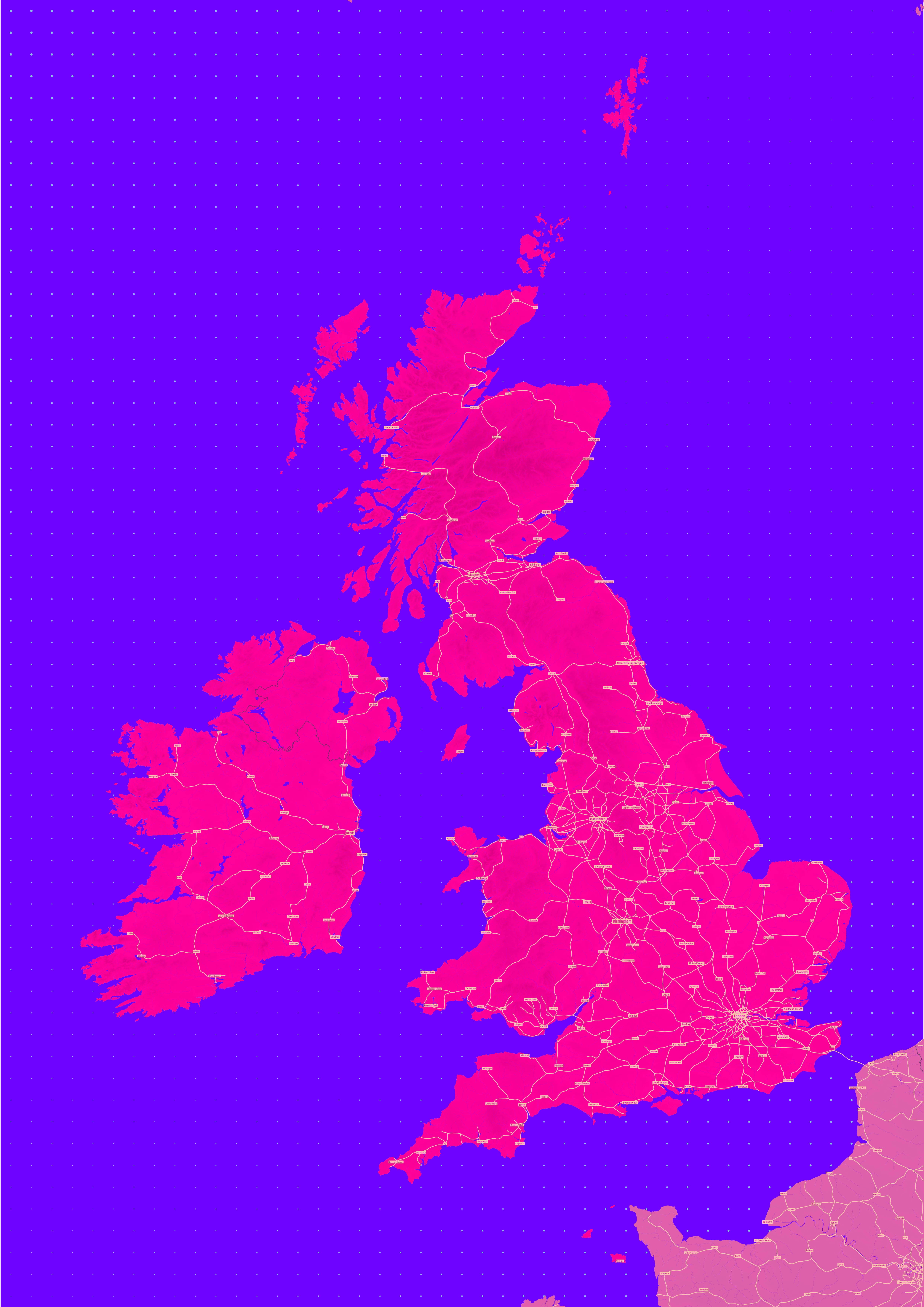
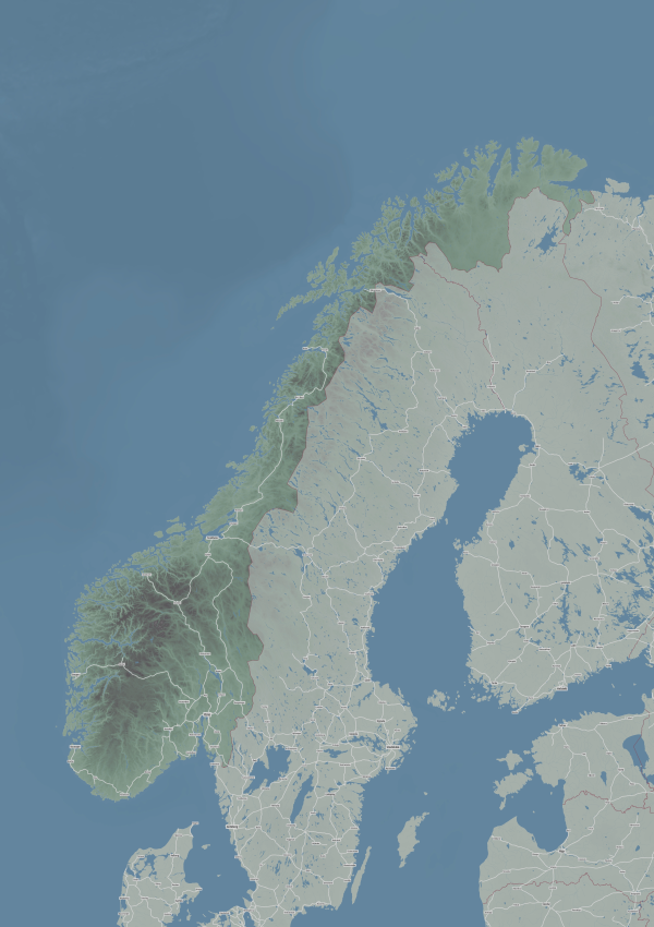
Over 200 years of passenger railway history have created many iconic journeys across the UK and Ireland.
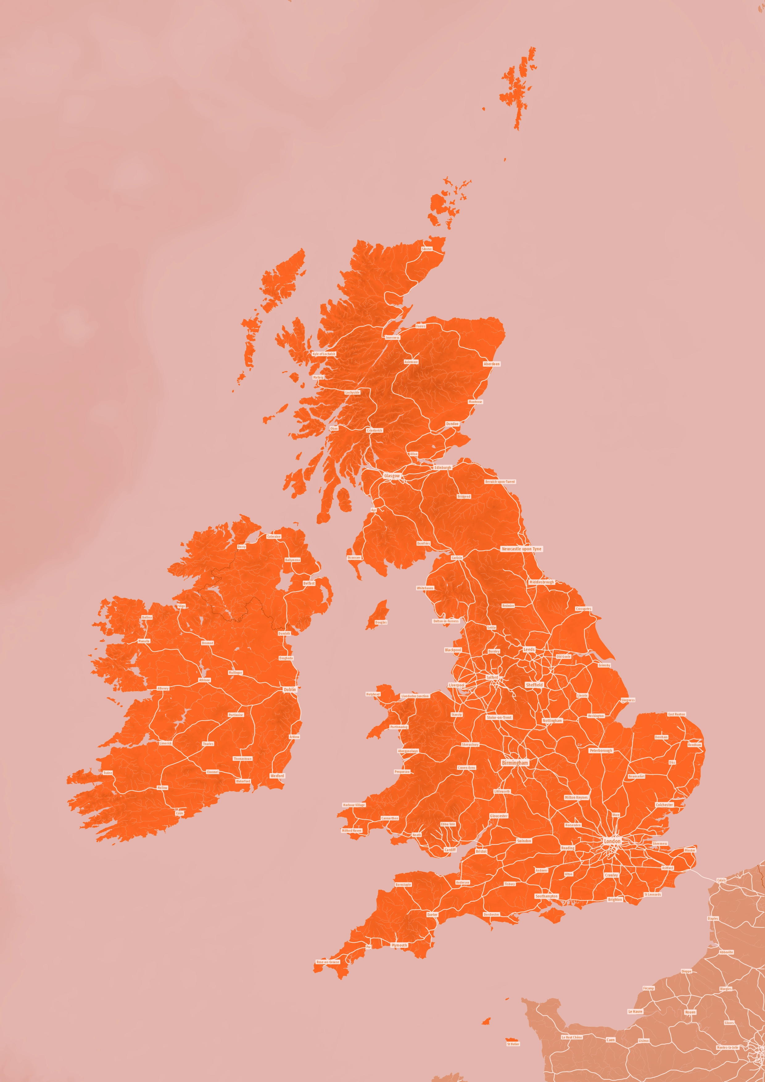
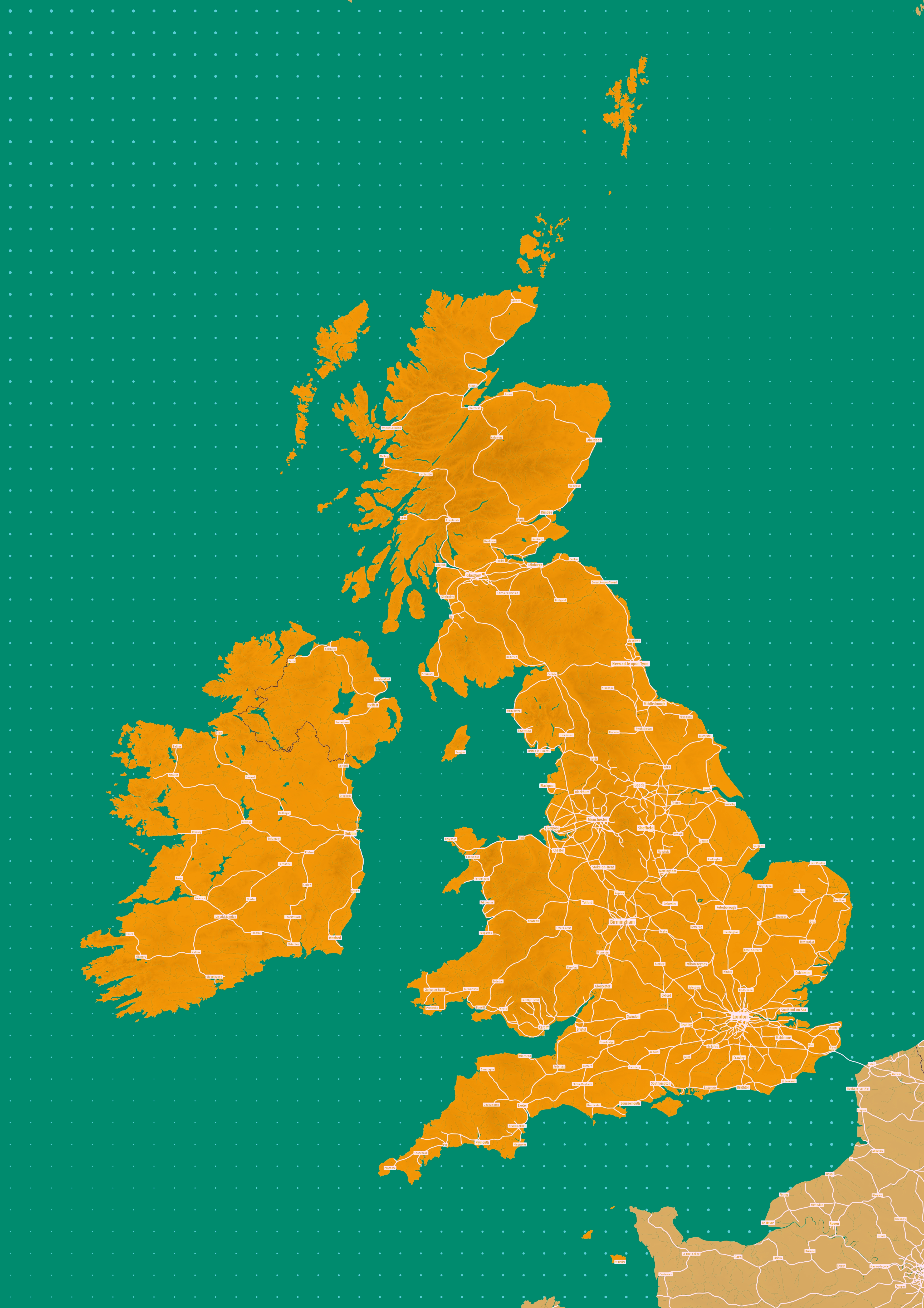
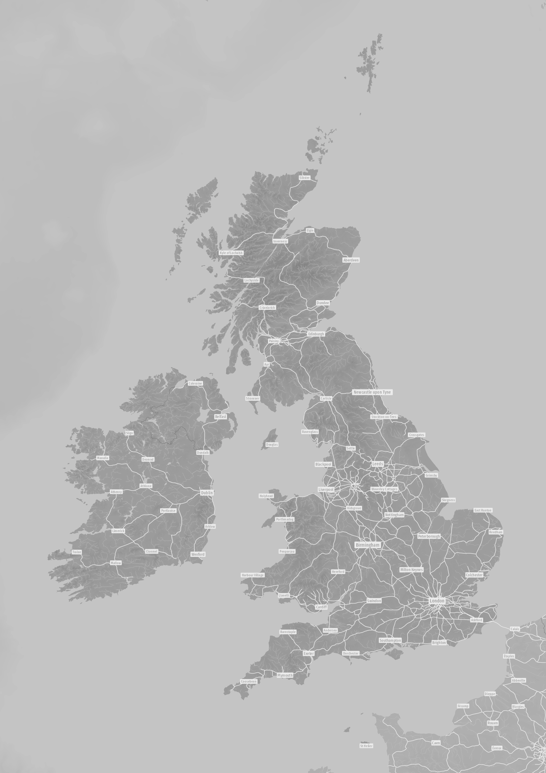
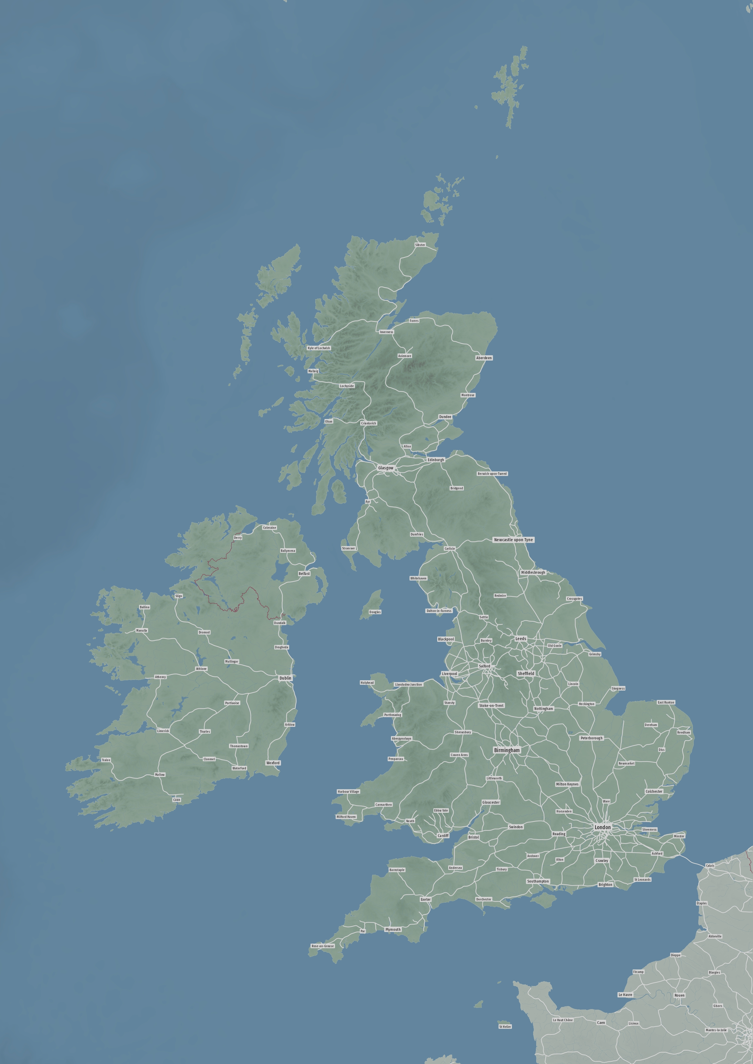
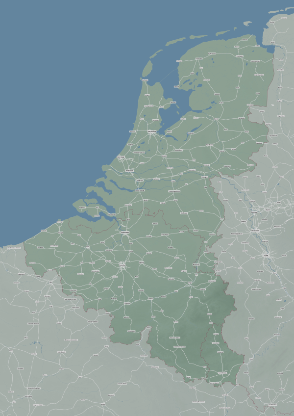
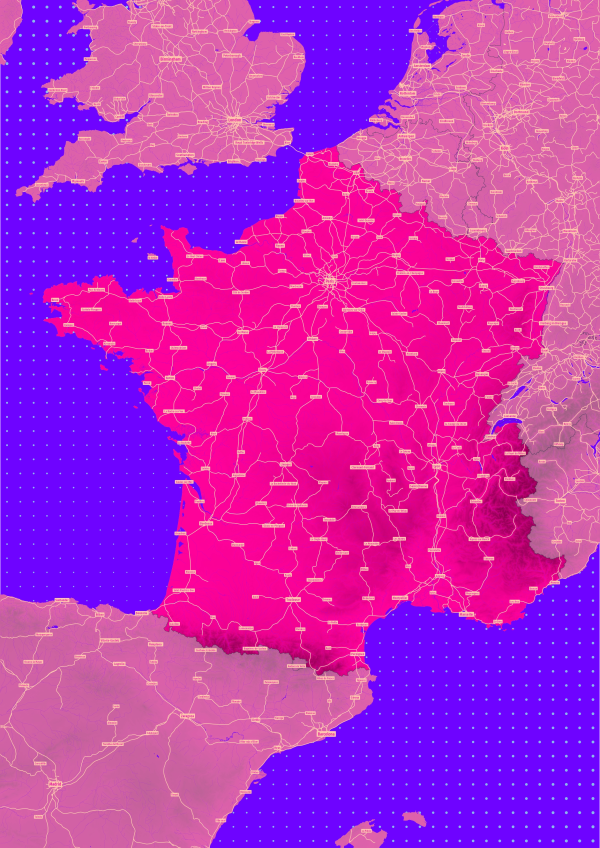
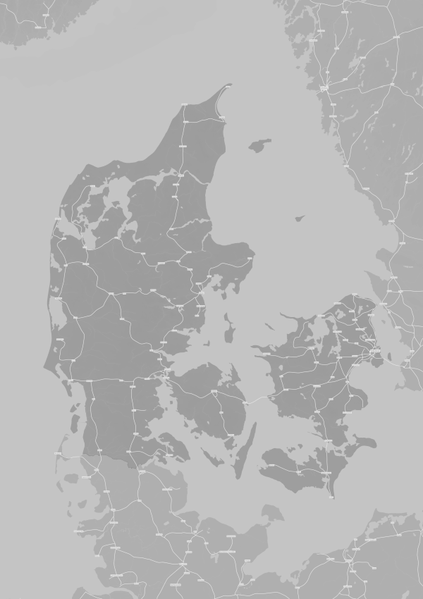
You can choose one of 6 pre-defined color schemes or work with the cartographer to design a unique color scheme just for you (see “Custom Colors” above).
Available in 4 different sizes (A0 to A3). All maps show all rail lines, but larger maps contain more cities.
All maps are produced using high-quality Giclée-printing methods on 200gsm archival-grade paper, retaining their colours for a long time.
The underlying map data is from the OpenStreetMap project.
Select either a monochrome or bi-tone look and pick your colours. Or share a more extravagant idea of what elements to style in which way.
Send your input, receive a draft, and we’ll bounce it back and forth up to 3 times, polishing it along the way. Add your colors and/or customisation wishes as a note during checkout, or wait for us to get in touch with you via email (usually within a working day).
Stylable elements include:
- Rail lines
- Oceans (flat or with depth gradient), lakes, and rivers
- The land background (flat or with height gradient)
- City labels and border lines